

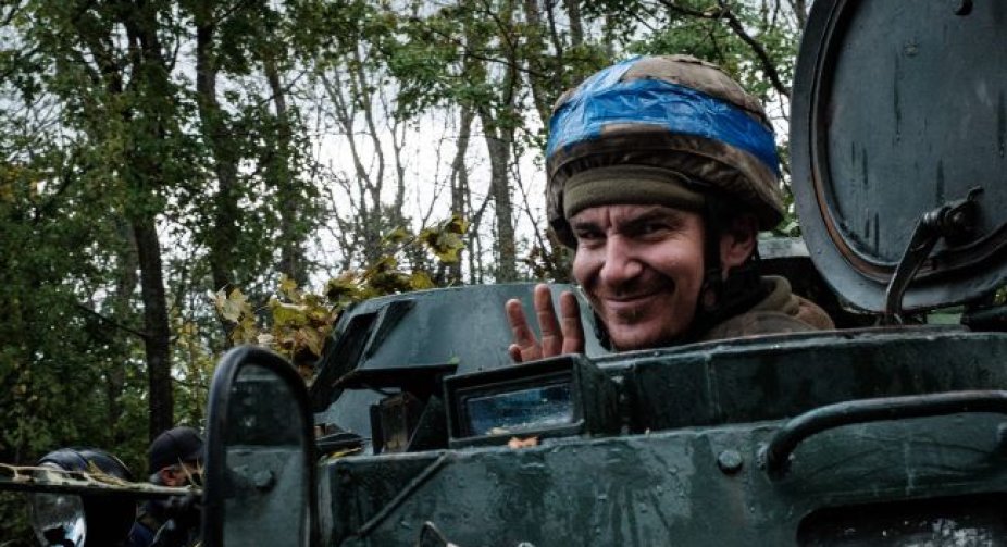

Ukrainian troops continue to advance in the south of our country. The Armed Forces liberated the town of Snigurivka, Mykolaiv region.
This is reported by the DeepStateMAP war map.
According to the battle map, Ukrainian fighters advanced and liberated Snigurivka, which is an important logistical point.
The city is located in the east of the Mykolaiv region, close to the Kherson region. The T1505 route, which was used by the occupiers as a logistical artery, passes through Snigurivka. In addition, the distance between Snigurivka and Kherson is about 50 km.
It should be noted that yesterday it became known that the Armed Forces entered the village of Kalinivske in the Kherson region.
There are no changes in other areas of the front. Heavy fighting is taking place in the direction of Bakhmut, but the advance of the occupiers has not been recorded.
There are also battles in the east of the Kharkiv region and on the Svatove-Kreminna line in the Luhansk region.
Today, Ukrainian defenders announced the release of Snigurivka and published a corresponding video.
Also, the Commander-in-Chief of the Armed Forces of Ukraine Valery Zaluzhnyi said that since October, the Armed Forces of Ukraine have already liberated 41 settlements in the Kherson region.